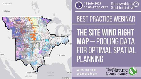
Best Practice Webinar: Introducing the Site Wind Right map – pooling data for optimal spatial planning
 Site Wind Right was created by the global NGO ‘The Nature Conservancy’ (TNC) to help accelerate the deployment of wind energy in a way that helps people and nature thrive. The interactive online map uses GIS technology and pulls from more than 100 data sets on wind resources, wildlife habitat, current land use and infrastructure to help inform siting decisions across 17 states in the Central United States.
In this webinar on 15 July 2021, we discussed how the tool enables developers to find areas with the lowest potential for conflict, the data collection process that made the tool possible and how/if the Site Wind Right can be transferred to other regions or fields – including spatial planning for power grids and offshore wind.
Below you can find the webinar recording from the day and TNC's exhaustive presentation. If you have any questions related to the development process, how Site Wind Right may enhance your work, or anything else that comes to your mind, please do get in touch with Stephanie Bätjer, stephanie@renewables-grid.eu.
Webinar presentation
Webinar video
Additional links
Find the Site Wind Right tool here
Contact
card to be inserted here


